



소개
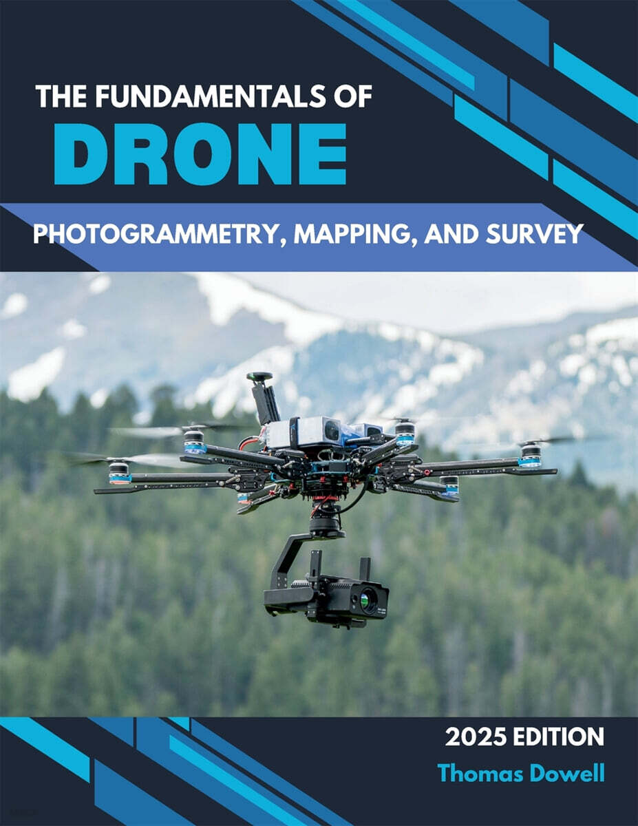
The Fundamentals of Drone Photogrammetry, Mapping, and Survey is an essential resource for mastering the art and science of drone-based geospatial analysis. This comprehensive guide explores the transformative power of unmanned aerial vehicles (UAVs), delving into their hardware-from consumer to enterprise models-and advanced payloads, including RGB cameras, multispectral sensors, thermal imagers, and LiDAR systems.